

Back to Maps
Shop by Category
Maps
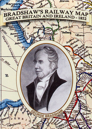
Bradshaw's Railway Map 1852 - Folded
Great Britain & Ireland
by N/A
As issued with Bradshaw's Railway Atlas 1852. Provided in perfect condition.
Book Details
- Author
- N/A
- Series
- Maps
- Publisher
- Middleton Press Ltd
- Published
- 20 April 2013
- ISBN
- 003
- Language
- English
- Format
- Folded Map
- Dimensions
- 890 x 1000mm (when open)
130 x 230mm (when folded) - General
- 96 Pages
120 Photographs
Large Scale Maps
Other details of local history